Transportation in Rome
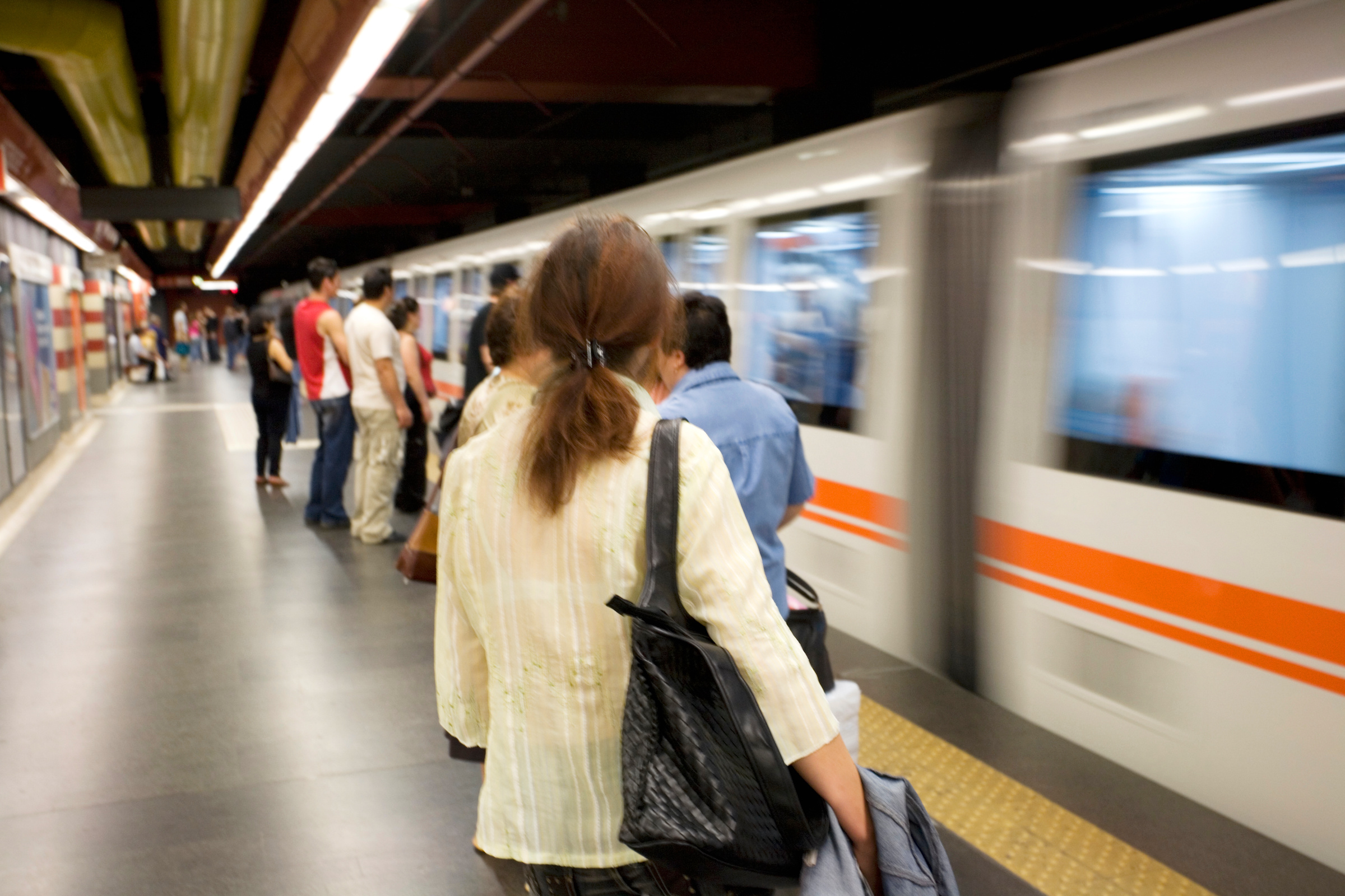
Metro (Metropolitana)
Rome's metro network consists of three lines that connect many of the most important sights and residential areas.
- Line A (orange): This line runs from northwest to southeast and connects the districts of Battistini and Anagnina. Important stops on this line are the Vatican (Ottaviano and Cipro stations), the Spanish Steps (Spagna station) and Roma Termini central station.
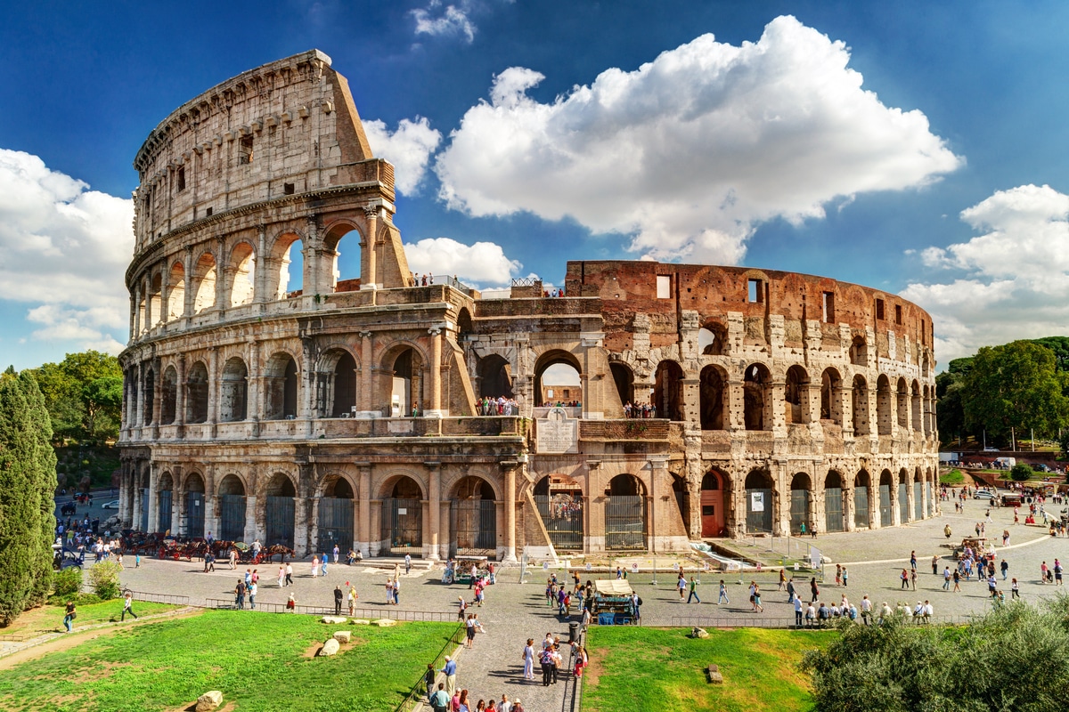
- Line B (blue): Line B runs in a north-south direction and has two sections: B and B1. The main line B connects the districts of Rebibbia in the north-east and Laurentina in the south. Important stations are Colosseo station and the EUR district. Line B1 branches off after Bologna station and leads to Jonio.
- Line C (green): This relatively new line connects the eastern suburb of Monte Compatri-Pantano with the city center and currently ends at San Giovanni station; an extension to the city center is planned for the future.
Buses
The bus network in Rome is very extensive and covers the entire city area and beyond. Buses are often the best means of transportation to reach destinations that are not served by the metro. Although buses in Rome are notorious for their unpunctuality, they are nevertheless an essential part of the city's public transportation system.
Streetcars
Rome's streetcar network is not as extensive as the bus or metro network, but offers an efficient alternative in some parts of the city. Streetcars are particularly useful for reaching areas outside the city center and have the advantage of being less affected by traffic congestion.
Regional trains
In addition to the urban transportation system, Rome also has regional train services, the Ferrovie Regionali. These trains connect Rome with nearby cities and regions and are a good option for day trips outside the city.